As the peak of El Niño draws closer, scientists are growing increasingly concerned about its potential impacts. According to several experts, California may be in for a particularly difficult winter.
During a virtual town hall hosted by Senator Mike McGuire (D-Healdsburg) on Wednesday, climate scientists painted a grim picture of the months ahead for California. The latest El Niño forecast shows this event peaking around 7.2 degrees Fahrenheit (4 degrees Celsius) in December, which would obliterate the previous record and have major implications for West Coast weather and sea levels.
“We’re expecting likely the highest sea levels ever recorded on the California coast associated with this event,” said Mark Merrifield, director of the Scripps Center for Climate Change Impacts and Adaptation.
How El Niño boosts sea levels
El Niño occurs when sea surface temperatures rise above average in the central and eastern tropical Pacific Ocean, which shifts global weather patterns and increases Earth’s average temperature. The impacts of El Niño vary by region, but the West Coast of the U.S. typically sees a significant jump in sea levels.
One of the reasons for this is thermal expansion. When the temperature of water rises, so does its volume, so El Niño literally causes the Pacific Ocean to expand. At the same time, this phenomenon leads to more rainfall along the Pacific coast, particularly in Southern California. This boosts sea levels even further.
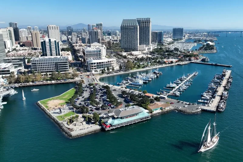
More storms also mean larger waves and stronger tides. During an El Niño winter, Southern California often experiences significant increases in wave heights and king tides, which can increase the risk of coastal flooding.
A wet and wild winter ahead
According to Merrifield, who presented recent satellite data and measurements taken by tide gauges across California, sea levels are already starting to increase. Sea levels in the eastern Pacific are more than six inches (15 centimeters) above average, and that anomaly is spreading northward, he explained.
“We can expect by fall [or] winter of this year that we should be seeing sea levels far above the average seasonal cycle going forward,” Merrifield said.
El Niño will occur on top of long-term sea level rise driven by global warming, and as an “unlucky coincidence,” the tidal cycle is also expected to peak around the same time as El Niño, according to Merrifield. By Christmas time, these factors will likely drive sea levels to record-breaking heights and produce high waves and king tides.
At the same time, El Niño is likely to boost rainfall in Southern California. This, on top of sea-level impacts, could contribute to “considerable coastal flooding, intrusion of saltwater into the groundwater, and coastal erosion,” Merrifield said.
While the full force of this El Niño remains to be seen, forecasts are increasingly pointing to the strongest event on record. The stronger the El Niño, the more likely it is to produce the expected outcomes. Nate Ortiz, assistant director for planning and preparedness at the California Office of Emergency Services, said during the town hall that his team is already ramping up preparations.
“CalOES is planning for the worst and hoping for the best,” Ortiz said.