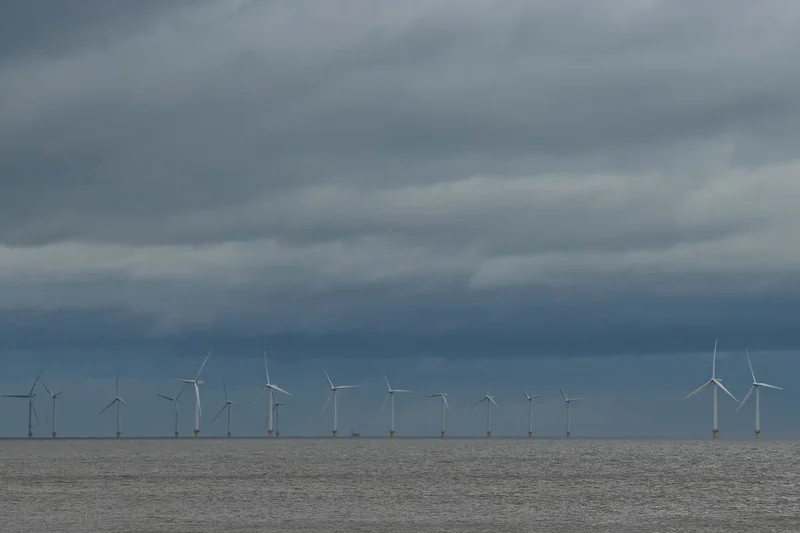
Rain is forecasted to hit the UK on Monday, according to Met Office predictions.
The news comes after a summer of extreme heat, where five back-to-back heatwaves and record numbers of wildfires have placed increasing pressure on emergency services across the country.
Last Thursday was reported to be the country’s hottest day this year, with a total of 40 locations across central and southern England recording temperatures of 36C or higher.
But now, Monday is set to bring respite from the heat, with the Met Office sharing: "Rain is on the way from Monday afternoon, bringing a change after recent dry weather."
Which areas will see rain?
The forecasted map suggests that the following areas will see the most rain:
- Scottish Highlands
- Grampian / Aberdeenshire
- Perthshire and Kinross
- Central Scotland
- Dumfries and Galloway
- Cumbria
- Northumberland
- Pennine Yorkshire
- North Wales
- Northern Ireland
What does the Met Office say?
Monday is expected to remain cloudy in the north, with outbreaks of rain, turning heavier.Further south, hazy sunshine will develop, making it feel very warm and humid.
Rain will gradually clear to the south throughout Tuesday introducing fresher conditions. It is forecast to be largely dry in the south Wednesday, with showers becoming more widespread Thursday.
Uncertainty remains
With over half the country declaring drought conditions earlier this month, Met Office Deputy Chief Forecaster, Steven Keates, said: “Many people are desperate for some rain to alleviate the impacts of the prolonged dry spell.”
More than 26 million people across the UK have been impacted by hosepipe bans, with multiple reports of farmers facing “the worst harvests in living memory” driving concerns about food shortages and severe price hikes.
The rain is hoped to bring a much-needed end to the oppressive heatwave.