Google Maps has improved over the years, even becoming a solid alternative to Waze for driving.
It also continues to get meaningful upgrades and add useful features that help avoid roadblocks or find the fastest routes.
However, most users rely on the default Google Maps settings, which aren't ideal.
Tweaking a few settings and enabling hidden features in Maps can cut fuel costs and save money in the long run.
Google Maps works out of the box
But flipping some settings unlocks hidden toggles
I have to admit that I was on the same page for a long time. I used Google Maps as is and left the settings untouched.
It proved useful for getting me to a new point, both in transit and while walking. But driving requires a different approach.
To be as efficient as possible, whether finding the fastest or the most economical route, you need to toggle the right options in the mobile app and Android Auto.
Fortunately, many of these are only a few taps away.
The fastest isn't always the cheapest
Pick fuel-efficient routes
I regularly drive to the biggest city in our province two or three times a week. That's only an hour or so from home, and a few minutes faster if I take the new highway.
I always chose the new highway because Google Maps showed it as the fastest of the three options. There are fewer traffic lights and fewer vehicles along that stretch.
However, I didn't realize that the fastest path isn't always the most fuel-efficient. I assumed that saving a few minutes meant saving gas.
With fuel prices still high, that assumption proved expensive in the long run.
Thankfully, Google rolled out its fuel-efficient routing feature a few years ago.
It presents the most efficient routes available, looking beyond distance. It factors in fewer stops, better traffic flow, and lower elevation gains.
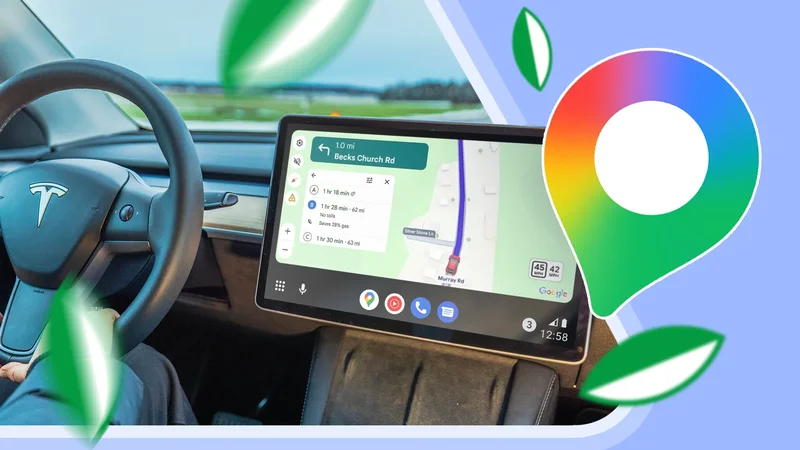
In Maps on Android Auto and Android mobile, the most efficient route is labeled with a green leaf icon.
If it doesn't appear in your app, enable the toggle for Prefer fuel-efficient routes.
Selecting a suggested route shows how much fuel you save, which varies by trip.
These routes are also dynamic rather than fixed. The app constantly factors in the current time and live traffic conditions.
For instance, during weekday morning and evening rushes, it often suggests alternative routes as the more efficient choice.
Because of this, I make it a habit to check Google Maps before driving and pick the most efficient path.
Set your vehicle in Google Maps
The right route for the right car
Setting up the correct vehicle type enhances the accuracy of fuel-efficient routing. Selecting your specific engine type helps Google Maps tailor the most efficient trip.
For gas and diesel vehicles, Maps prioritizes highways and steady-speed routes.
Meanwhile, hybrids and electric cars benefit from city driving despite the traffic, taking advantage of regenerative braking during deceleration.
You can customize your vehicle by opening Google Maps and heading to Settings > Your vehicle.
You can also select specific plug types and adapters if you drive a PHEV or EV, which helps find routes with compatible charging stops along the way.
Turn on the traffic layer
See which roads to avoid
While relying on Google's automated routing saves fuel, it isn't completely foolproof against sudden roadblocks and slowdowns.
The built-in traffic layer serves as a handy workaround, providing live updates with clear visual cues.
Green indicates free-flowing traffic, orange represents slow-moving cars, and red signals heavy congestion or stop-and-go delays.
This overlay offers a clear, real-time view of how long a traffic jam stretches on a highway.
Since stop-and-go congestion is one of the biggest fuel and battery drains, I check this layer before leaving the house.
I avoid jammed roads and choose alternatives, even if they are slightly longer, to keep the drive steady and continuous.
The best strategy is combining the traffic layer with standard navigation. This lets me confirm the route is congestion-free before leaving the house.
Depending on your device, the traffic layer might be off by default.
Enabling it is simple. Open Google Maps, tap the Layers button, and select Traffic under Map details.
Plan trips in advance
Customize your departure time
Nothing beats planning ahead, especially for longer hauls.
Google Maps works well for navigating unfamiliar areas and weighing typical traffic trends. It gives you a predictive snapshot of traffic conditions based on your planned departure or arrival time.
Using it is straightforward. Set up your point A and point B as usual, but adjust the departure schedule.
When your route appears, expand the drive panel and tap the Leave option to adjust the date and time.
Google Maps then provides a custom travel estimate based on historical traffic patterns, helping you spot the most efficient departure window.
This tool relies on past trends, so it doesn't predict sudden real-time incidents on the day of travel.
Google Maps brings the best tools for cutting down your monthly fuel bill
Google Maps has grown to a versatile navigation platform from simple point-to-point directions.
It offers useful driving tools you won't find on Waze, which is why I prefer it for casual and short-haul drives.
Even better, if you take the time to configure these built-in options and choose the right settings, it makes a noticeable difference in cutting down fuel and battery consumption on every drive.