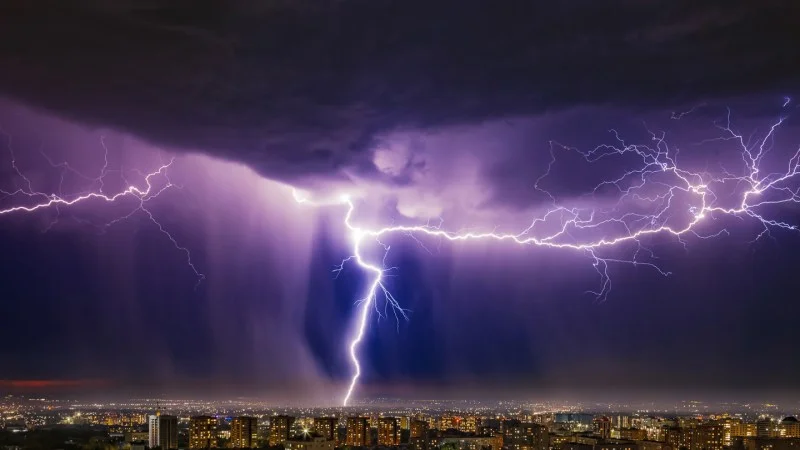
“Thunderquakes” ho! Using intense sound waves generated by thunder, scientists created maps of the shallow geology beneath a large U.S. university.
Geophysicist Tieyuan Zhu of Penn State and colleagues analyzed two and a half years of seismic signals detected by fiber-optic cables beneath its University Park campus, including more than 450 thunderquakes. The team then converted these signals into images of the near-surface geology beneath the campus — spotting regions of possible future sinkholes, among other hazards, the team reports August 21 in Science Advances.
Fiber-optic cables, used for telecommunications, run beneath roughly 4 kilometers of State College, Pa., buried about a meter underground. As with any fiber-optic array, not all of these fibers are always in use. And over the last decade, scientists have been exploring ways to make use of such already-in-place “dark fibers” as seismic sensors.
In 2019, a team of Penn State scientists decided to try using the campus fiber-optic network to detect acoustic waves generated by thunder. Those atmospheric pressure waves propagate through the air, but can also transfer energy to the ground, inducing tiny amounts of ground motion. Those seismic shifts can’t be felt by humans but are detectable to the very sensitive fibers. The fibers respond to the seismic vibrations by stretching a small amount, which in turn increases the travel time of light through the cable — a detectable signal of ground motion that’s analogous to the scritch-scratch of a seismograph registering an earthquake.
The team’s 2019 study proved that the cables can detect thunder-generated seismic waves. But now, the researchers have gone further, revealing that these thunderquakes — like classic seismic signals — can be used to make images of underground geology down to about 100 meters.
Penn State sits on a karstic landscape, riddled with limestone caverns and fractures. The new images revealed several previously undetected weak zones in the limestone. The team corroborated those findings with logs from boreholes drilled into the ground, as well as signs of surface deformation measured by satellite.
Thunderquakes can do more than identify subsurface hazards, Zhu and his colleagues say. Because thunderstorms can produce huge signals that cover tens of square kilometers per event, they can potentially be cheaper and easier than traditional seismic surveys, particularly under cities with existing fiber-optic cable networks.
It might even be possible to use thunderquakes for seismic surveys on other worlds, such as Titan, known to have long-lasting megastorms, Zhu says.