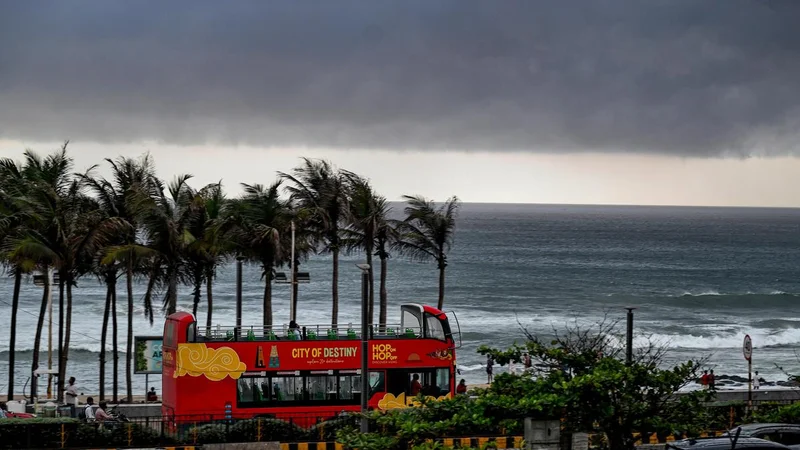
A low-pressure area has formed over the Northwest Bay of Bengal and its neighborhood at 5.30 a.m. on Sunday (August 23, 2026), under the influence of an active upper-air cyclonic circulation over the North Bay of Bengal off the West Bengal-Bangladesh coasts.
According to the India Meteorological Department, the weather system is expected to intensify regional atmospheric activity, prompting authorities to issue comprehensive wind and sea state warnings for eastern and east-central coastal regions.
Squally weather, accompanied by wind speeds reaching 40 to 50 kmph and gusting up to 60 kmph, is very likely to prevail over the Northwest and adjoining west-central Bay of Bengal. The adverse weather will heavily impact areas along and off the coasts of West Bengal, adjoining Odisha, and North Andhra Pradesh through August 24.
Concurrently, sea conditions are expected to remain rough to very rough across these regions, with officials warning that maritime sectors will face hazardous swells and turbulent waters over the next 48 hours.
In view of the high-risk maritime conditions, the weather bureau has issued a total prohibition for workers at sea.
Fishermen have been strongly advised not to venture into the Northwest and adjoining west-central Bay of Bengal, along and off the West Bengal, Odisha, and North Andhra Pradesh coasts until August 24.
Port authorities and disaster management cells along the eastern coastline remain on alert as the system continues to be monitored closely.
Published - August 23, 2026 10:02 am IST