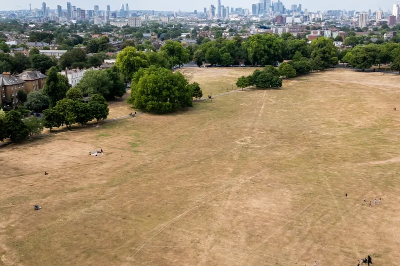
While welcome rain finally fell across drought-stricken Wales, forecasters have issued a stark warning that no significant showers are on the horizon for England’s parched South East.
Capel Curig in north Wales received nine millimeters of rain on Tuesday, accounting for approximately half of its total rainfall for the entire month of July, according to the Met Office. On the same day, Kinlochewe in Scotland recorded 32.4mm of rain, with warnings for thunderstorms and heavy downpours issued for parts of the country.
This summer of extreme weather has already seen two record-breaking heatwaves in May and June, contributing to more than 2,800 excess deaths. Two additional heatwaves in July, which was the driest July for England and Wales since records began, have exacerbated drought conditions and fueled wildfires across the nation.
Major supermarkets have begun removing disposable barbecues from sale amidst a heightened risk of wildfires. Asda became the latest retailer to pull single-use grills from its shelves on Tuesday as a prolonged spell of exceptionally dry and hot weather continues to grip parts of the UK. Firefighters have recently battled blazes in areas including Dunwich, Suffolk, and the Rhondda Valley in Wales.
Despite very brief showers hitting parts of London on Tuesday, there has been little relief for the scorched earth in southern England, where July marked the driest month ever recorded. Forecasters indicate that significant rainfall may not arrive for some time.
Met Office meteorologist Marco Petagna said there might be an "odd little shower" overnight in the South East, but described them as "very few and far between." He added, "It’s looking pretty dry."
"Later on Sunday we could just get a few showers coming down from the North West. But the rain’s weakening as it comes into the South East,” he continued.
"Even for the second half of the month (August), it is suggested that rainfall totals are more likely to be below normal than above, with a potential for further spells of hot weather at times as well. So nothing significant on the horizon for the South East."
More unsettled weather is expected for other parts of the UK, including a yellow warning for thunderstorms in north-east Scotland, effective from 10 am to 9 pm on Wednesday. Temperatures are forecast to drop on Wednesday, aligning closer to seasonal averages, following a spike on Monday and Tuesday as a cold front moves through and winds shift direction.
Some areas of the UK recorded temperatures of 32C or higher on Tuesday, marking the 21st day in 2026 when such temperatures were observed. The previous record of 19 days, set in 1995, was surpassed on Monday when 33.5C was recorded in Wisley, Surrey.