Auckland's coldest day in five years as power use hits another record
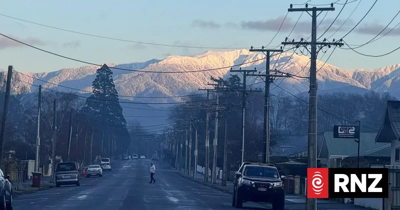
Many places in the country will be waking up to freezing weather on Thursday, with MetService warning of double-digit negative temperatures in parts of the south.
They coincided with record power use on Wednesday night.
MetService says Auckland has had its coldest temperatures in five years overnight.
Whenuapai Airport recorded -1.7C on Thursday, and Auckland Airport was 1.5C before 5am.
Metereologist Luis Fernandes said Auckland could be set for even lower temperatures on Thursday evening.
Aoraki Mount Cook has hit -10 this morning, with Twizel and Alexandra at -9.
People in Taumarunui woke up to a temperature of -6 - the third coldest on record.
Invercargill has also reached its coldest this year, at -5.3C early this morning.
Other parts of the North Island that saw sub-zero temperatures overnight, including Taupō and Hamilton.
In the South Island, Christchurch, Queenstown and Alexandra all recorded temperatures below -3C.
MetService meteorologist Katie Lyons said widespread frosts were forecast.
"We've got a big ridge of high pressure which is giving a lot of clear skies, and that means cold temperatures, good cooling so people will be waking up to lots of frosts around the country," she said.
"Places like Auckland could be anywhere between -2C all the way up to 4C. The likes of Wellington it could be anywhere between 0C and 4C."
Transpower's live data shows New Zealand's power grid hit 7463 megawatts last night - a new record.
Yesterday morning, the peak hit 7247 MW for the power grid manager.
It was expecting there could be another record demand for electricity on Thursday.
The power grid operator issued a notice to power companies advising there would be a potential shortfall of energy at peak times over the next couple of days.
Warnings were in place on Thursday and Friday between 7.30am and 8.30am.
Lyons said the cold snap was expected to end by the weekend.
"For most places into Friday that cold will continue," she said.
"The West Coast of the South Island will be the first to slowly see those temperatures rise into Friday, and then for the rest of the country on Saturday it will feel like more of a return to normal as we get the next frontal feature moving in from the Tasman with some northwesterly winds."
'We're absolutely ecstatic' - skifield boss
Whakapapa general manager of operations Steve "Youngman" Manunui said it was -7C at the ski-field's base area on Thursday - ideal conditions for snowmaking.
Whakapapa GM discusses Mt Ruapehu ski season
The lingering impact of Covid-19 and financial pressures had made this a make-or-break season for Whakapapa and Turoa, he said.
It was under new ownership and was seeing the best start to the season since before the pandemic.
"We're absolutely ecstatic with the start to the winter, best start since pre-Covid actually."
The El Niño phase was delivering cooler, drier temperatures, he said.
The cycle of storms over the last three weeks had been welcome and in between there had been some fine sunny spells that had drawn large numbers of customers.
Manunui said the skifields were in an ideal location in the middle of the North Island, so they were able to attract customers from all over the North Island.
"The good thing is these weather patterns look like they're going to continue for a wee while ... we're setting ourselves up nicely for spring and traditionally we go right through to Labour weekend.
"The snow here in spring is something special ... things have lined up for us nicely."