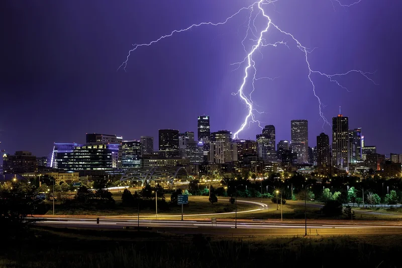
Concrete jungles create their own rain, and make it go away, all without relying on a single nursery rhyme. A recent study of 40,000 storms producing heavy rainfall in four Texas cities revealed that urban landscapes affect different storm types in different ways, helping to explain why cities sometimes generate more rainfall than their surroundings and sometimes experience less. The study could lead to more accurate rainfall predictions for urban areas, especially for extreme storms that cause floods and other dangers.
To find these trends, study lead author Xinxin Sui, a hydroclimatologist at the Colorado School of Mines, and her colleagues painstakingly separated and classified individual storms from 23 years’ worth of high-resolution radar data by examining attributes of each storm such as shape and intensity. Unlike measurements from collected rainwater or satellite images, multiple radar sources can map rain intensity in 3D to let scientists “see the whole structure of a storm event,” Sui says. The results are described in Nature.
The researchers found that short-lived, localized storms are more frequent and produce more rainfall in cities, especially at night and on weekdays. This increase has to do with the dynamics of city heat. Cities are hotter than their surroundings because concrete and other urban surfaces absorb and store more heat from the sun, intensifying storms. On weekdays, particles of air pollution from workplaces and commuter vehicles may help to form more clouds that produce storms.
On supporting science journalism
If you're enjoying this article, consider supporting our award-winning journalism by subscribing. By purchasing a subscription you are helping to ensure the future of impactful stories about the discoveries and ideas shaping our world today.
Cold-front storms, which form when cold air moves into a region with warmer air, get much weaker when they pass over cities, probably because the densely clustered buildings act like jagged, warm spikes that mix up and heat the cold air. Because the temperature difference between the two air masses fuels the updrafts that cause storms, this mixing tamps down storm activity. In contrast, rain from warm fronts, which occur when warm air moves into a region of colder air, tends to come from long, thin clouds that aren’t as affected by city spikiness, although they may be slightly intensified by urban heat.
The most intense and largest volumes of rainfall usually come from tropical systems: storms that spawn over the ocean, including hurricanes. Cities don’t influence tropical systems’ intensity or frequency, but they may change their structure in a way that lets more rainfall reach the ground. Researchers don’t know why yet.
Studying these variations is important because “different storms stress urban systems in very different ways,” says Yiyi He, who researches urban planning for extreme weather at the Georgia Institute of Technology and was not involved in the study. Tropical-system rainfall tends to last longer and to cause widespread flooding, whereas localized storms are more likely to lead to sudden flash floods that can sweep away vehicles.
Climate change is driving more severe weather and increasing flood risks in urban areas, where a majority of people live worldwide, making an understanding of how storm type and city infrastructure intersect even more relevant. Adding storm types to urban climate models “could significantly improve how we anticipate future flood hazards,” He says, letting us design more resilient cities.