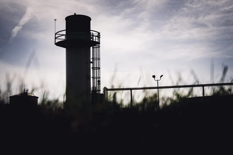
Nationwide mapping challenges the assumption that parks and polluting sites exist apart, revealing an overlooked dimension of the environments communities use for health and recreation.
Study: Proximity of parks to polluting sites in the United States. Image Credit: Lost_in_the_Midwest / Shutterstock
Public parks included in a nationwide US dataset frequently lie near industrial facilities that report toxic chemical management to the EPA and current or former Superfund hazardous-waste sites, according to a new study published online as an 'Article in Press' in the journal Scientific Reports.
Background
Green space, such as public parks, is considered to be a major public health amenity associated with better human health and well-being. Public parks provide opportunities for physical activity and social interaction, which help improve mental health. Greenery in parks helps reduce pollution and improve environmental health.
In contrast to green space’s health benefits, residential proximity to industrial facilities, hazardous waste sites, and manufacturing plants has been widely associated with adverse health outcomes, including congenital disabilities and cardiovascular, respiratory, and neurological diseases.
Historically, industrial sites were often located alongside rivers, while urban beautification efforts placed many parks near the same waterways. Over time, urban development, industrial decline, and land redevelopment have brought green space and potentially polluted sites into close proximity. Several projects have also been developed, including the Superfund Redevelopment Initiative, to convert formerly contaminated land into commercial, recreational, ecological, and residential spaces.
Despite the potential public health implications of this spatial overlap, studies quantifying the extent of overlap between green and polluted spaces are scarce. To address this gap in the literature, a University of Michigan-led research team explored the overlap and proximity between parks and two types of locations recorded in EPA datasets.
Study design
The researchers analyzed data from three sources, including 151,366 parks from the 2024 ParkServe open-access database and polluting sites from the Environmental Protection Agency’s 2023 Toxics Release Inventory and 2024 Superfund datasets.
ParkServe includes named, publicly accessible parks in Census-designated places that intersect urban areas of at least 5,000 people and therefore does not represent every park in the United States.
The Toxics Release Inventory (TRI) program tracks the release and management of listed toxic chemicals by qualifying US industrial facilities, and the Superfund program is a federal initiative for cleaning up some of the most complex hazardous waste sites in the United States. TRI reporting does not, in itself, show that a facility is violating environmental regulations or contaminating a nearby park. The analysis included Superfund sites currently or previously included on the National Priorities List (NPL), the EPA roster of locations prioritized for long-term cleanup, including some sites classified as remediated.
Using ArcGIS Pro, the researchers counted TRI facilities located inside parks or within 0.5, 1, 1.5, and two miles of park boundaries. They also calculated the area of parkland overlapping Superfund sites or falling within equivalent buffers around their boundaries.
Key findings
The analysis found that TRI-reporting facilities and Superfund sites frequently occurred near parks in the dataset. Specifically, the findings indicated that 52.6% of parks in the dataset were within 2 miles of a TRI-reporting facility, while 9.3% had a facility either within the park or within half a mile of its boundaries.
About 1.6% of parks in the dataset had land that directly overlapped with a Superfund site. In total, 17.7% had some parkland within two miles of at least one Superfund site. Across all parks in the dataset, the mean proportion of park area within 0.5 miles of a Superfund site was 4%, increasing to 17% within two miles.
The regional mapping indicated that both parks and TRI-reporting facilities were more concentrated in urban areas, although this pattern partly reflects ParkServe’s focus on places intersecting urban areas. Missouri and Virginia had the highest number of TRI-reporting facilities located within parks, with six in each state.
Only five states, Arkansas, Maine, Mississippi, North Dakota, and Wyoming, had no parkland that directly overlapped with Superfund sites.
Study significance
The study found that many parks included in ParkServe are located near TRI-reporting facilities or current and former Superfund sites. These spatial patterns may warrant closer local investigation, given the well-documented associations between environmental exposures and adverse health outcomes.
Although parks are typically perceived as green spaces with health benefits, proximity to either type of location does not necessarily mean that a park is contaminated or that its visitors are exposed to harmful pollutants. The findings instead identify locations where site-specific environmental assessment may be warranted.
The researchers have made these findings publicly available through the National Neighborhood Data Archive. They suggest that these resources could support community education and advocacy concerning environmental health hazards.
Policymakers can use these resources to improve urban planning for healthier parks and advocate for better environmental remediation. Public health researchers can also use the data to add nuance to green space research, select focal areas for environmental and community health studies, and examine interconnected factors that shape neighborhood health.
Study limitations
Overall, the study provided a nationwide geospatial overview of the overlap between green and polluting spaces in the United States. However, it did not measure specific pollutants within parks, personal exposure to those pollutants, park use, or health outcomes. Actual exposure depends on several factors beyond proximity, including pollutant type, dispersion patterns, wind, topography, and exposure route.
Pollutants differ considerably in how far they travel, how people encounter or ingest them, and their potential health effects. Future research could consider these factors and incorporate local environmental testing to more conclusively understand actual exposure levels.
Apart from the Toxics Release Inventory and Superfund sites considered in the study, there are countless sources of potentially dangerous pollutants. TRI facility locations also rely on facility-reported addresses that may be outdated, and the datasets were collected in different years and coordinate systems, potentially introducing minor measurement errors. Brownfields were not included in the analysis.
Future research should examine spatial overlap between other neighborhood amenities and environmental hazards to develop a clearer picture of how protective and damaging features are distributed, interact, and influence human and environmental health.
Source:
- Chemberlin, E., Melendez, R., Clarke, P. J., Duchowny, K. A., Gypin, L., & Noppert, G. A. (2026). Proximity of parks to polluting sites in the United States. Scientific Reports.DOI: 10.1038/s41598-026-65808-7, https://www.nature.com/articles/s41598-026-65808-7