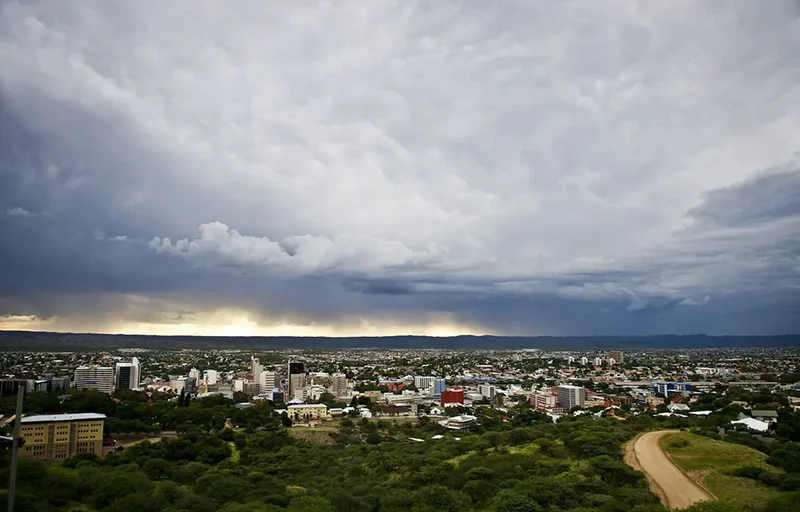
Johannesburg woke to a bitterly cold, wet winter morning on Tuesday, with rain falling across the city and temperatures struggling to climb above freezing.
Across the country, snow blanketed parts of the Eastern Cape and KwaZulu-Natal, mountain passes were closed and motorists faced hazardous conditions, while rain and strong winds swept across large parts of the interior.
The South African Weather Service had warned on Friday that a cold front, accompanied by a steep upper-air trough, would bring cold to very cold, wet and windy conditions across the country as it moved eastwards from the Western and Northern Cape.
It warned of possible flooding in low-lying areas, roads, bridges and informal settlements, damaging winds capable of bringing down trees and damaging roofs and infrastructure, rough seas, exposure risks for vulnerable communities and livestock and hazardous travel as snow accumulated over mountain passes.
The impacts have now been felt across parts of the country, with the Eastern Cape bearing the brunt of the snowfall. The weather service issued an Orange Level 6 warning for disruptive snowfall, with several mountain passes affected.
Snow subsequently spread into the mountainous areas of KwaZulu-Natal. Sanral warned motorists of possible road closures on the N2 around Kokstad and the N3 Van Reenen Pass amid heavy snowfall, while N3TC reported snowfall, rain and reduced visibility along sections of the N3 on Tuesday.
In Gauteng, the cold has been particularly pronounced. Johannesburg was forecast to reach a maximum of only 4°C on Tuesday, while Pretoria was expected to reach 8°C.
Senior forecaster Tokelo Chiloane said the weather system wais not unusual for South Africa. Rather, it was the combination and positioning of the cold front and an upper-air cut-off low that has amplified the impacts.
“We are dealing with a cold front, which is normal for South Africa for this time of the year and a cold front by itself brings cold weather, it brings rainfall, it brings disruptive and damaging winds as well as wind along the coast on its own,” Chiloane said.
“Then it is supported by an upper system, which is called a cut-off low. Again, the cut-off low on its own is also bringing cold weather, disruptive rainfall and all these characteristics are the same. But currently … it was a combination of these two weather systems that has doubled the impacts that we are seeing.”
The cold front has moved out of the country, leaving its remnants and a lingering pool of cold air.
“The worst is over if I have to put it that way, though there are still some lingering snowfalls over the country but where the most damage or the most snow was accumulated was in the Eastern Cape,” Chiloane said.
“From this morning, I see a development that the snow has spread to the mountainous areas of KwaZulu-Natal, so now we are seeing that the major roads along the N3 are being closed.”
Chiloane said motorists remained among those most at risk as snow and ice could leave people stranded on mountain passes, while livestock owners in affected mountainous areas could also face losses.
The weather service also warned of damaging winds across much of the country on Tuesday, although the impacts would vary according to how accustomed different regions were to strong winds.
Gauteng, Mpumalanga and Limpopo were under warnings because gusts could reach about 40km/h, while similar wind speeds along coastal areas do not necessarily trigger warnings because those regions are more accustomed to such conditions.
Johannesburg was experiencing exceptionally cold daytime conditions on Tuesday, with a forecast minimum of 3°C and maximum of 4°C. Pretoria was forecast to reach a maximum of 8°C and Vereeniging between 3°C and 6°C.
Chiloane said the temperatures were not unusual in themselves but were uncommon because such low daytime maximums required a strong weather system.
“On a day-to-day basis, we don’t really get a maximum of 6°C in Johannesburg. That is usually the minimum of the day but because both of these weather systems are cold-producing and rainfall-producing weather systems, they significantly drop the temperatures, usually daytime max temperatures,” she said. “What we are seeing is not common but it comes with the territory.”
She said the same combination of a cold front and cut-off low had caused flooding in the Western Cape in May but the systems were positioned differently during that event.
“The last time, both things were the ones who caused the May floods in the Western Cape. Same system but the way they were positioned, they were not affecting the northern parts of the country, hence Gauteng did not feel it as compared to the Western Cape. But the same combination now is positioned northwards, hence we are feeling the effects of it.”
The cold spell is expected to gradually weaken from Wednesday, with temperatures beginning to recover by one or two degrees at a time.
“From tomorrow, we’re going to see everything start to weaken a bit but going to Thursday and Friday, the weakening will be more intense and gradually, like gradually, temperatures will start to improve one degree to two degrees a day,” Chiloane said.
Conditions were expected to improve further over the weekend, with no warnings expected across the country if the system continued to weaken as forecast.
Chiloane urged people to take the cold and hazardous travelling conditions seriously.
“We pray for everybody to keep warm because if they do not keep warm, the alternative is you being sick, it’s you losing livelihood. If you’re driving recklessly on the road, the roads are going to be slippery, visibility is going to be compromised, so just be careful — that’s our message for people.”
And while meteorological winter ends at the end of August before the start of spring, Chiloane cautioned that the atmosphere did not follow the calendar.
“These outliers appear before winter or after winter. Remember that snow in 2024 in September? That was the same combination we are having now but it was somewhere almost to the end of September.
“No one believed us when we said: ‘No, no, Van Reenen’s Pass is going to be closed.’ People were like: ‘No, no, we are having a heatwave now; there is no way there is going to be snow on the freeway there.” And doof, it happened.”