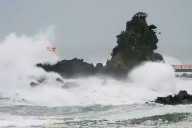
Typhoon Chan-hom makes landfall in eastern Japan’s Kanto region
A typhoon made landfall in east Japan’s Kanto region, which includes Tokyo, on Tuesday night, the weather agency said, warning of flooding in low-lying areas, rising river levels and possible overflows.
Typhoon Chan-hom followed an unusual east-to-west path, steered by winds around a high-pressure system lingering north of the Japanese archipelago. It is expected to reach western Japan and weaken into a tropical depression by early Wednesday afternoon.
It was the first typhoon to make landfall in Ibaraki Prefecture, northeast of Tokyo, since record-keeping began in 1951, according to the Japan Meteorological Agency.
Article continues after this advertisement
The agency said warm, moist air flowing into the typhoon will make atmospheric conditions unstable, with heavy rain expected in some areas across a wide region from northeastern to western Japan through Wednesday.
As of early Wednesday morning, this year’s 15th typhoon was over the area of Ogaki, Gifu Prefecture, and moving westward at a speed of 40 kilometers per hour. It had an atmospheric pressure of 996 hectopascals at its center, with maximum gusts of 90 kph, the agency said.
The agency forecast up to 180 millimeters of rain in the Kanto-Koshin region, 150 mm in the Tohoku region in northeastern Japan, 120 mm in the central Tokai region and 80 mm in the western Kinki region in the 24 hours through 6 p.m. Wednesday. /dl