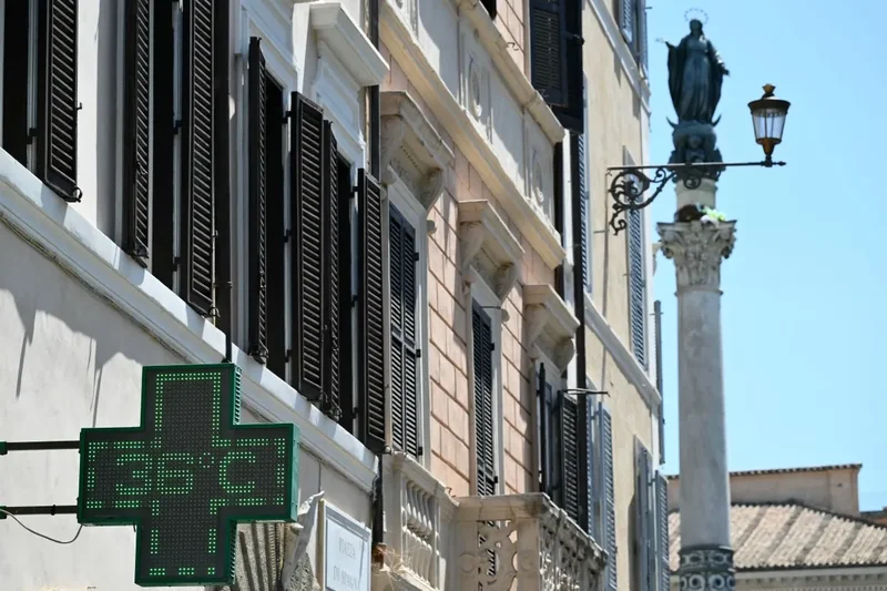
High temperatures are set to continue in many parts of Italy over the Ferragosto weekend, though the heat was already less extreme on Friday as an Atlantic front carrying storms and cooler air moved in from the north,
Forecasters said Italy's fourth heatwave of the summer was likely to continue until August 17th, which would mean 20 consecutive days of temperatures 7-8C above the seasonal average, making it the longest of the year, according to Ansa.
READ ALSO: Italy braced for sweltering Ferragosto weekend with highs of 40C
The three heatwaves before it were shorter, lasting between eight and 14 days each, with only short breaks between them.
On Friday, August 14th, just seven of the 27 cities monitored by the health ministry remained on red alert, the highest warning level.
That's a sharp drop from 18 cities on Thursday and 19 on Wednesday, according to the ministry's heatwave bulletin.
Bari, Bolzano, Genoa, Messina, Palermo and Reggio Calabria stayed on red, along with Cagliari, which moved up from two days on orange alert. Most other cities dropped to yellow, the lowest pre-alert level. Pescara, Trieste and Venice recorded no heat risk at all.
Florence was among the cities no longer under red alert, after 16 consecutive days from July 29th, as storms began to move in on Thursday.
Daytime temperatures in the city were still set to reach 36-37C, with highs perceived as closer to 38C, though overnight temperatures have started to ease slightly.
Forecasters said the exact date the heat would fully break across the country would depend on how the low pressure system over Italy develops in the coming days.
Lorenzo Tedici, head meteorologist at weather website ilMeteo.it, wrote that the heat would hold through Sunday, August 16th, with real change only arriving on the 17th or 18th.
"If it expands forcefully, we could see intense storms over the Tyrrhenian regions, the north-west and Piedmont.
"If the low pressure system stays further west instead, isolating itself over the western Mediterranean, the effects could be more contained, with Sardinia and the Tyrrhenian coast seeing the worst of the weather once again."
READ ALSO: More than 150 million in Europe face temperatures over 35C on Friday
Rain could reach northern Italy from Sunday, with the centre and south following from Tuesday, IlMeteo said. Unsettled weather is expected to continue through Friday, August 21st.
"Heatwaves used to be linked to the African anticyclone shifting north, and things would go back to normal once the Azores anticyclone kicked in," atmospheric physicist Lorenzo Giovannini, of the University of Trento, told Ansa.
"But now we're seeing the African anticyclone sitting further north than it used to, so it's easier for this system, which brings very hot air up from North Africa, to cover Italy for longer."
Hot and dry conditions continued to fuel wildfires, including in the north. Around 50 residents were evacuated overnight near Como after a fire took hold on the wooded slopes of Monte Goj, with some 130 firefighters and two water-bombing planes tackling the blaze by Friday morning.
Western Europe experienced its hottest June and July on record this year, the EU's Copernicus climate change monitor said on Monday.
Scientists have shown that recurring heatwaves are a clear marker of global warming, primarily caused by burning coal, oil and gas – and warn they are only set to become more frequent, longer and more intense.