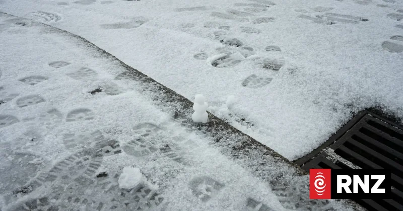
Wellington could be in for more snow tonight, icy morning expected
Overnight temperatures are expected to plummet, with calmer, clearer skies following the snow that fell on much of the country today.
Freezing air pushing up from the Southern Ocean in Antarctica brought snow to about 300 metres in the Wellington region - the first big snowfall in the capital in years - after schools were closed in Dunedin by the frigid weather.
Earth Sciences NZ and MetService meteorologist Jon Tunster said the airmass that hit the country was very cold, sourced directly from Antarctica. "Coupled with that, some very well organised heavy showers were able to allow snow to fall to very low levels."
Philip Duncan discusses icy blast hitting New Zealand
The transport agency is warning motorists to watch out for black ice on the roads with temperatures set to plummet in frosty conditions.
While state highways around the South Island are open again after snow related closures, people should prepare for days of freezing temperatures and ice on the roads, especially inland and in sheltered places.
Waka Kotahi said black ice was a particular risk because it was transparent and difficult to spot.
Road snowfall warnings are in place for the Porters and Lewis Passes and the Remutaka Hill, Desert and Napier-Taupo Roads.
Police said there have been a few crashes on Transmission Gully north of Wellington tonight due to slippery conditions, and are warning motorists to take care on the road.
Police are advising motorists in the area to drive slowly if they have to travel, and to stay home if they do not.
Much of the heaviest showers and the coldest air is expected to ease off by mid-morning Wednesday.
Follow our liveblog for the latest.