Sign in. It’s quick, free and it’s up to you.
An account is an optional way to support the work we do. Find out more.
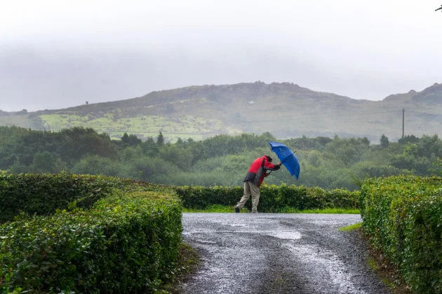
A STATUS YELLOW wind and rain warning is currently in place across Co Donegal.
The alert came into place overnight at 2am and will remain in place until 2pm this afternoon.
Met Éireann has said that it’s been unseasonably blustery overnight and into this morning, with spells of heavy rain, especially near coasts and on higher ground.
It warned that there could be some disruption to outdoor events and activities, difficult travelling conditions, and spot flooding.
Meanwhile, it will be cool and unseasonably windy across many areas today, particularly in the north, with showery spells of rain too, which will be heavy at times.
But further south and east, it will stay drier with sunny spells developing, with highest temperatures of 14 to 21 degrees.
Heading into tonight, it will be cloudy in the north early on, with outbreaks of rain and drizzle which will gradually ease and clear eastward early on.
Otherwise, a generally dry night is instore with clear spells elsewhere and well scattered showers feeding in from the west, with lowest temperatures of 9 to 13 degrees.
Tomorrow, Thursday, will be a bright day with some spells of sunshine, though hazy in parts, and overall mainly dry for most.
There’ll be some scattered showers around too though, especially further to the north and west, with highest temperatures of 15 to 21 degrees.
To embed this post, copy the code below on your site