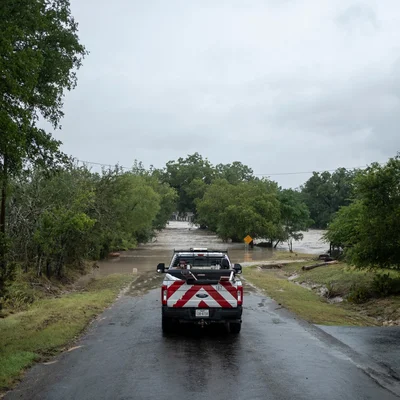
A sheriff in Southern Colorado posted a frightening map on social media this month. It depicted an angry red zone, dotted with flame icons, where wildfires were burning. And a blue zone nearby showed where floods threatened, too.
The graphic wasn’t from the National Weather Service or Federal Emergency Management Agency. It came from a smartphone app.
The mapping and forecasting provided by this app, Watch Duty, are quickly becoming indispensable for emergency authorities, utility crews and residents in parts of the country that, until recently, seemed relatively safe from fires and floods alike.
Watch Duty began culling disaster data from government warnings, weather forecasts, radio scanners and social media five years ago to help residents of a few California counties track wildfires and plan evacuations. Since then, it’s boomed.
In January 2025, after a firestorm swept through Los Angeles, millions of new users joined. Utilities and philanthropic groups have sent millions of dollars to help expand the app’s focus. And this year, it has started to cover wildfires on the East Coast and widespread threats of sudden catastrophic flooding in other regions, too.
The changing climate means existing systems for dealing with disasters haven’t always kept pace with hazards. But Watch Duty is growing more like a tech start-up than the public-service-oriented nonprofit it is.
We are having trouble retrieving the article content.
Please enable JavaScript in your browser settings.
Thank you for your patience while we verify access. If you are in Reader mode please exit and log into your Times account, or subscribe for all of The Times.
Thank you for your patience while we verify access.
Already a subscriber? Log in.
Want all of The Times? Subscribe.